Hello
I am wondering how one would import topographic data, such as a point cloud (e.g. xyz) to simscale?
Hello
I am wondering how one would import topographic data, such as a point cloud (e.g. xyz) to simscale?
Hi @rockb78!
I have found one solution so far: Create a Grid Surface From a DEM - Power users, any other ideas here?
Cheers!
Jousef
Hi @rockb78,
It is not possible to import the data directly to SimScale, as it is not a CAD or surfacing tool.
Please refer to your CAD/surfacing program documentation on the option to import point cloud data and turn it into a suitable model, then how to export it to any of the compatible interchange formats for SimScale, such as:
Thanks guys, I don’t use CAD anymore so I was hoping for a workaround. I’ll keep looking…
Hola hola! ![]()
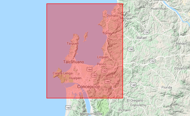
A while ago I read how to import from googlearth. Maybe you may be interested in this Application and example.
It is also necessary in some works post-processing point cloud scans (from a drone) and you may be interested in this other link XTract3D: 3D Reverse Engineering from STL (Scan to CAD) inside SOLIDWORKS - YouTube
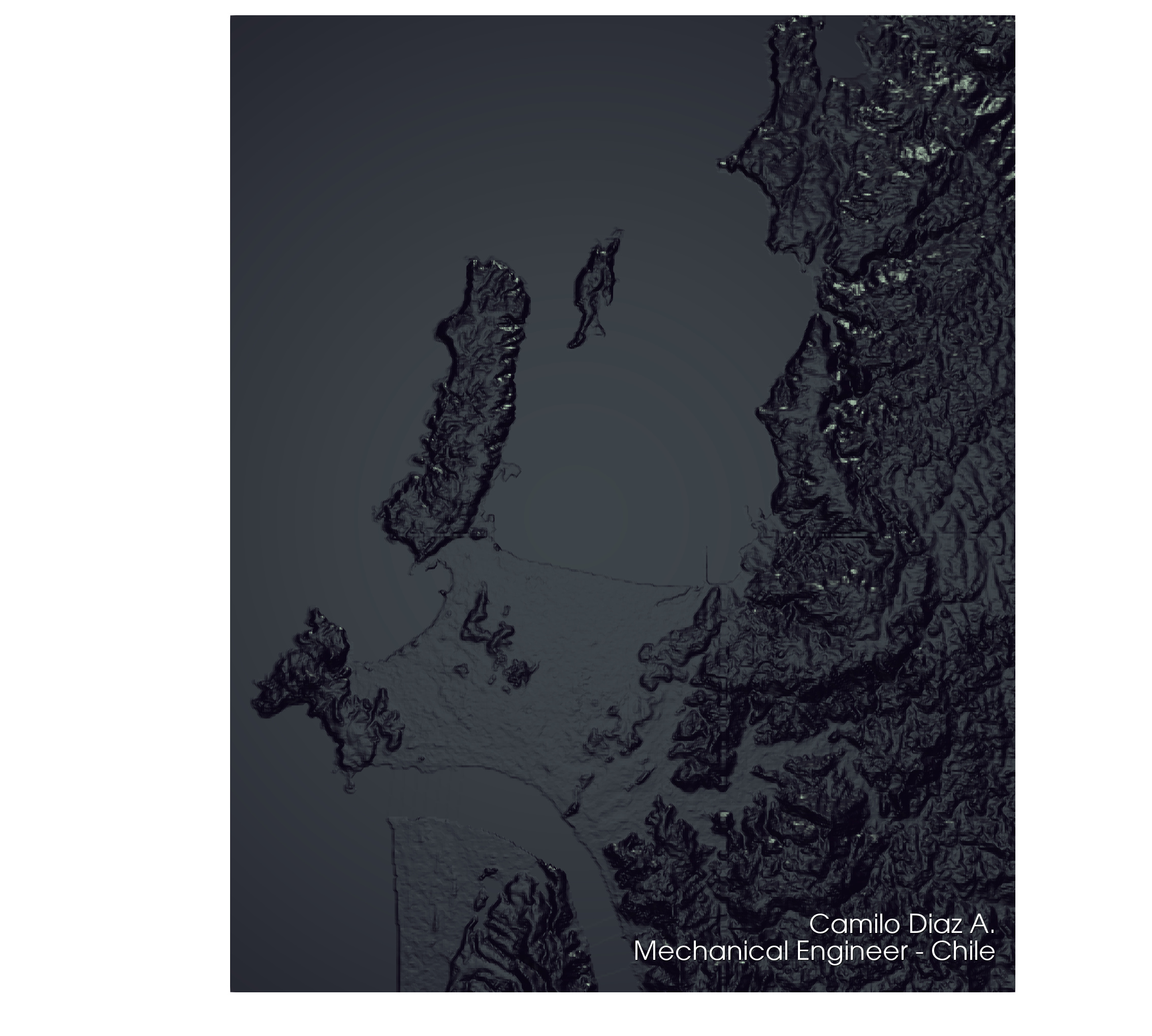
I have been with a lot of work, when I have time I can share a model and simulation as an example to simscale step by step ![]()